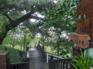
Hiking In Nantou
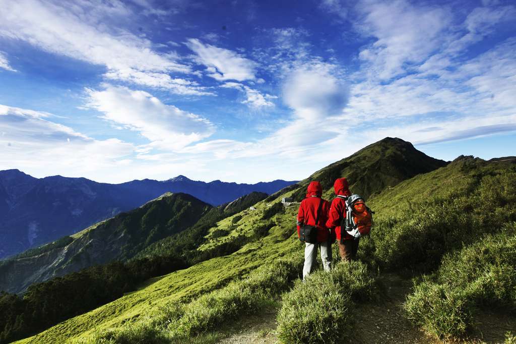
Although Nantou County is the only county in Taiwan that does not have a seaside, the mountain attractions here are therefore more abundant. A variety of national forest parks and abundant hiking trails will allow any travelers in Nantou to enjoy the nature of wilderness
Top pick Hiking Spots
Bukai
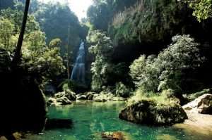
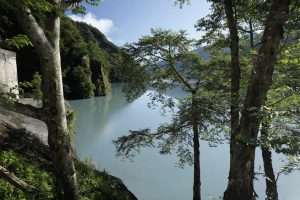
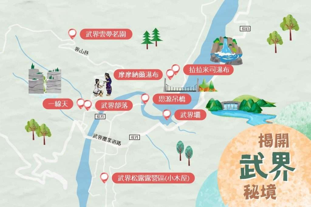
Nearly an hour’s hike to Bukai in Nantou’s Renai Township, you can enjoy the picturesque Momonar Waterfall and the historical Bukai Dam. If you go farther, you can see a line of sky cut by the Jhuoshuei River. The special topography of the canyon and the common dreamy sea of clouds make you marvel at nature’s magic.
![]()
Cingjing Wuling
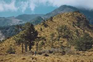
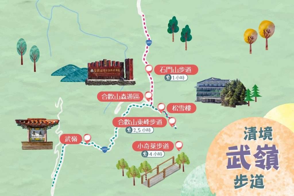
Cingjing Wuling is one of the most beautiful trails in Taiwan. It is located at the junction of Nantou and Hualien. It is known as the “Snow Town” and is the watershed of Dajia River, Zhuoshui River and Liwu River. The peaks are connected by seven mountains, and the shape of the mountains is beautiful and straight; along the way, there are alpine plants such as Yushan Rhododendron, Taiwan lily, Yushan Dianthus, Longzhan, Polygonum cuspidatum, and more.
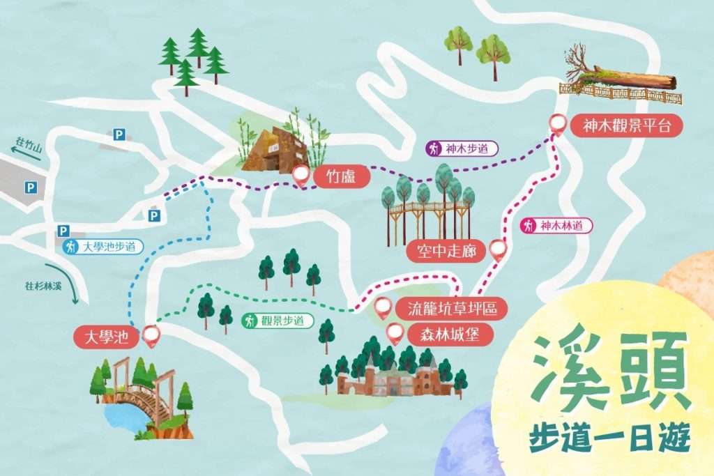
Sun-Link-Sea Forest
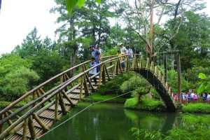
Located in Nantou’s Zhushan Township, the Sun-Link-Sea Forest and Nature Resort not only promotes in-depth green tourism, but also promotes the beauty of the Cedar Creek through a variety of eco-themed activities. The park is located at an altitude of about 1,600 meters above sea level, and the temperature is pleasant, making it cool and comfortable to visit in the summer. The trails are mostly flat and suitable for all ages to hike. The park has different natural beauty in all seasons, and is a paradise hidden in the mountains.
![]()
More Mountain Attractions
Batong Gate Old Trail
The Batongguan Ancient Trail is about 4.3 kilometers from the trailhead to the Yunlong Suspension Br
Shanlinxi Environmental Forest Resort (Sun-Link-Sea)
Located in Nantou's Zhushan Township, the Sun-Link-Sea Forest and Nature Resor not only promotes in-
Xitou Nature Education Area
When you enter the Xitou Nature Education Area, the luxuriant trees occupy every corner within your
Dalun Mountain Ginkgo Forest Trail
Along the Dalun Mountain Ginkgo Forest Trail, you can enjoy the beautiful scenery of ginkgo trees on
Hiking Guide
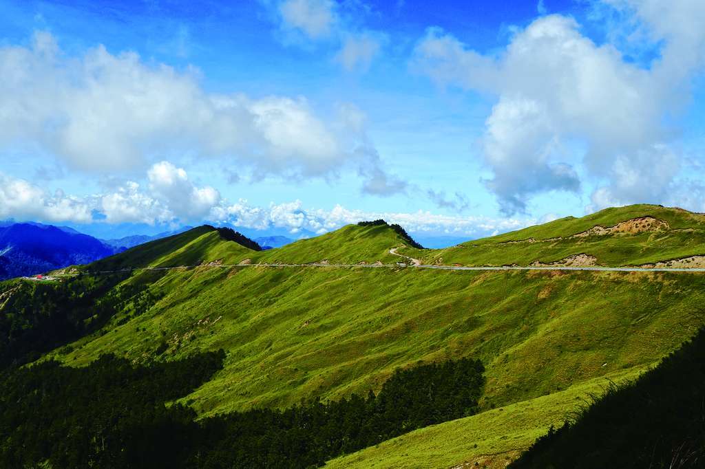
Best trail in Nantou
Q&A
You can refer to the Taiwan Forest Recreation Site and enter the scenic spot query function to learn about the latest trail conditions and information
Source: 台灣山林悠遊網
- Please lead the way with a professional hiking with rich hiking experience.
- Regularly train your physical stamina and hiking skills, consider your physical condition to choose the type of Mountain domain.
- Climate changes rapidly in the mountain, so you should pay attention to the weather conditions before you go. In the event of foreseeable weather changes such as typhoons or heavy rains, do not enter the mountains.
- Climbing should be fully equipped. It is best to bring a satellite locator (GPS) or mobile phone (satellite phone), medical equipment and medicines, reflectors, smoke wands and whistle and other rescue equipment, and prepare batteries for use.
Source:中華民國健行登山會
- Five emergency response measures
- In the event of an accident, stay calm and immediately call 119 or 112 on your mobile phone to request assistance (radio emergency frequency: 145.0MHZ), or use satellite phones to ask for help. If the call cannot be reached, people should be sent lightly down the mountain to report the case and strive for the time limit for rescue.
- When a person is injured or sick, the injured should be treated with simple bandaging, fixation, and hemostasis. If altitude sickness occurs, the patient should be taken to a lower altitude immediately and given high-sugar foods (such as candy, chocolate, etc.) , Keep warm at all times to avoid loss of temperature.
- When you get lost accidentally or the weather suddenly deteriorates, you should find a safe refuge and set up appropriate signs so that rescuers can quickly find the trapped location. If it is close to the evening, you should prepare to sleep in the wild to prevent your body and clothing from getting wet to avoid loss of body temperature.
- When losing contact with the outside world, the team leader should calm the team members’ emotions in a timely manner, and centrally control the distribution of only food and drinking water, and immediately replenish the water source.
- Use a satellite locator and mobile phone (satellite phone) or map to inform the search and rescue personnel of the trapped coordinates. If the above equipment is not available, the search and rescue helicopter or the personnel can use the reflector in the obvious open area, brandish clothing, and release smoke bombs. Or use a whistle to make a distress sound to attract the attention of search and rescue personnel.
資料來源:中華民國健行登山會
Headlights, trekking poles, water, honey, food, hiking clothes, sun protection equipment, rain protection equipment, cooking utensils, sleeping bags, tents, toilet paper, plastic zipper bags, cat shovel, fire-making knives, saws, and tents /Sky curtain/Black garbage bags, spray guns, personal ropes, maps, etc. (Details can be inquired at 百岳戶外學院 )
Source:百岳戶外學院
- Wearing style : onion style
- Bottom layer clothing: a sweat shirt is better. Cotton clothing is easy to absorb water and drains slowly, so it should be avoided when climbing.
- Midlayer: for warmth, the version needs to be fitted to preserve body heat.
- Raincoat: Waterproof and windproof. You can choose raincoats with different water pressure resistance and air permeability according to your needs.
Backpack: select the capacity according to the number of days - Single day package: less than 25L
- Simple overnight: 25L~45L
- Long days, need to carry tent: more than 45L
- Hiking shoes: Taking comfort as the main consideration, it is recommended to choose shoes with waterproof function.
Source:太報
Lulin Mountain Trail, Maolan Mountain Trail, Xiaoqilai Trail, Shimen Mountain Trail, Jiujiufeng Forest Trail, Shishui Forest Trail, Jinganshu Mountain Trail, Changyuan Army Ecological Trail, Shuishe Dashan Trail, Toushe Reservoir Ecological Trail Trail
Source:好好玩台灣

